Limassol had the highest level of dust in the atmosphere on Tuesday, more than double the safe level, with Larnaca also above the red line, while other towns were borderline.
The weather service said a low pressure front hampered the situation with heavy rainfall expected later in the day.
Measurements from ground stations of the Air Quality Monitoring Network operated by the Department of Labour Inspection showed extremely high concentrations of dust in the air.
The Department urged the public, and particularly any vulnerable groups of the population (children, older people and the infirm), “to avoid circulating in open spaces until the observed episode has elapsed, as the small size of respirable particles in dust may have negative effects on human health.”
It added that employers must take appropriate measures after assessing any risks that their employees may face while working in open spaces, and it is recommended that workers in such spaces use appropriate means of personal protection.
The latest hourly dust concentrations measured at 9 am in the following areas (maximimum safe measurement 50 μg/m3 (micrograms per cubic metre) are:
| Nicosia: | 44.4 μg/m3 |
| Limassol: | 101.5 μg/m3 |
| Larnaca: | 84.9 μg/m3 |
| Paralimni: | 49.6 μg/m3 |
| Paphos: | 43.6 μg/m3 |
| Zygi: | 42.5 μg/m3 |
| Ayia Marina Xyliatou: | 44.1 μg/m3 |
More information and real-time updates is available online at www.airquality.gov.cy and also through the free mobile application ‘Air Quality Cyprus’.
Yellow alert
Meanwhile, the Meteorological Service issued a ‘yellow warning’ from 10pm on Tuesday to 5pm on Wednesday, with heavy rainfall starting from the west expected to range from 5 to 55 mm an hour.
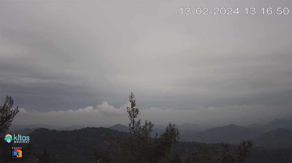
A low pressure front will continue to affect the area until Wednesday, including high levels of dust in the air.
Mild showers could lead to heavy rainfall late Tuesday, with temperatures during the day at 19C inland, 21C along the coast and 11C in the mountains.
By nightfall, the temperature is expected to drop to 11C inland, 13C on the coast and 5C in the mountains.
The weather will remain cloudy with local showers and possibly storms until Friday, while the temperature is expected to drop to average levels for February as of Thursday and Friday.
At noon Tuesday, Kitas Weather’s forecast said it expected, “unsettled weather conditions with occasional showers/thunderstorms from tonight until the end of the week, however there will also be long periods without rain.
“Tuesday night’s storms will be strong while the next few days the storms will be strong in places. The dust will gradually subside from Wednesday. On Thursday and especially on Friday, snowfall/snow cover is expected on the highest peaks of Troodos.”