I want to share with you the various complaints that we receive, which concern the extent of the described properties on the titles of plots of land and fields.
Until recently, I wanted to believe that a title issued by the Republic had the correct area registered and citizens could rely on it.
At some later stage, after the purchase of the property and in case of re-calculation of the area, the extent increases or decreases.
In the first case, the seller may suffer a loss, while in the second case, the buyer.
So, the buyer/owner prepares plans and executes a project based on a building permit, where the registered area on the title is calculated. Finally, at issuing the certificate of final approval/issuance of titles, the Land Registry re-calculates the area and concludes to less (or greater) than that stated in the title.
Thus, the whole project may have an excess density of the original plans and be unable to issue titles.
Who should be blamed for this situation, the owner who adopted a document of the State as being correct, or the Land Registry (the State) who made the original mistake?
What is the fault of the project’s buyers who will not have titles?
The various answers we receive are that “now with new technology, we can measure the areas more accurately”, or “buy a building factor from a property with a preservation order” to overcome the problem, and “apply for amnesty”.
All this is good, but who will pay for the mistake?
It’s certainly not the owner’s fault.
Apart from obvious errors (e.g., instead of 1,000 m2, the number 10,000 m2 is sometimes written), the initial area of the field should be adopted with a relevant note in the title for the new area.
In a case in Paralimni with a plot area of 650 sq.m. on the title and with a building permit, the area of the plot was reduced to 570 sq.m. and so even though the project had a building permit; it could not proceed, not only because of the smaller area (exceeding the building density) but with the new dimensions, the licensed project did not fit on the smaller plot.
“Initiate a lawsuit against the Land Registry”, the lawyer advised us.
But is that the point, or should it be with some “automatic” relaxation that the project can proceed without requiring long legal battles, compensation, liquidity problem for the owner, exposure to pay off the bank and what will happen with project buyers?
“We did a new land survey,” the Land Registry responded to us, and we found differences in the land survey.
Famagusta
At the same time, the Land Registry in the Famagusta area admitted that, based on the new land survey, several buildings encroach on neighbouring owners!
A directive from the Interior Ministry on the matter would resolve many of these problems, including the pending issue of titles caused by such mistakes.
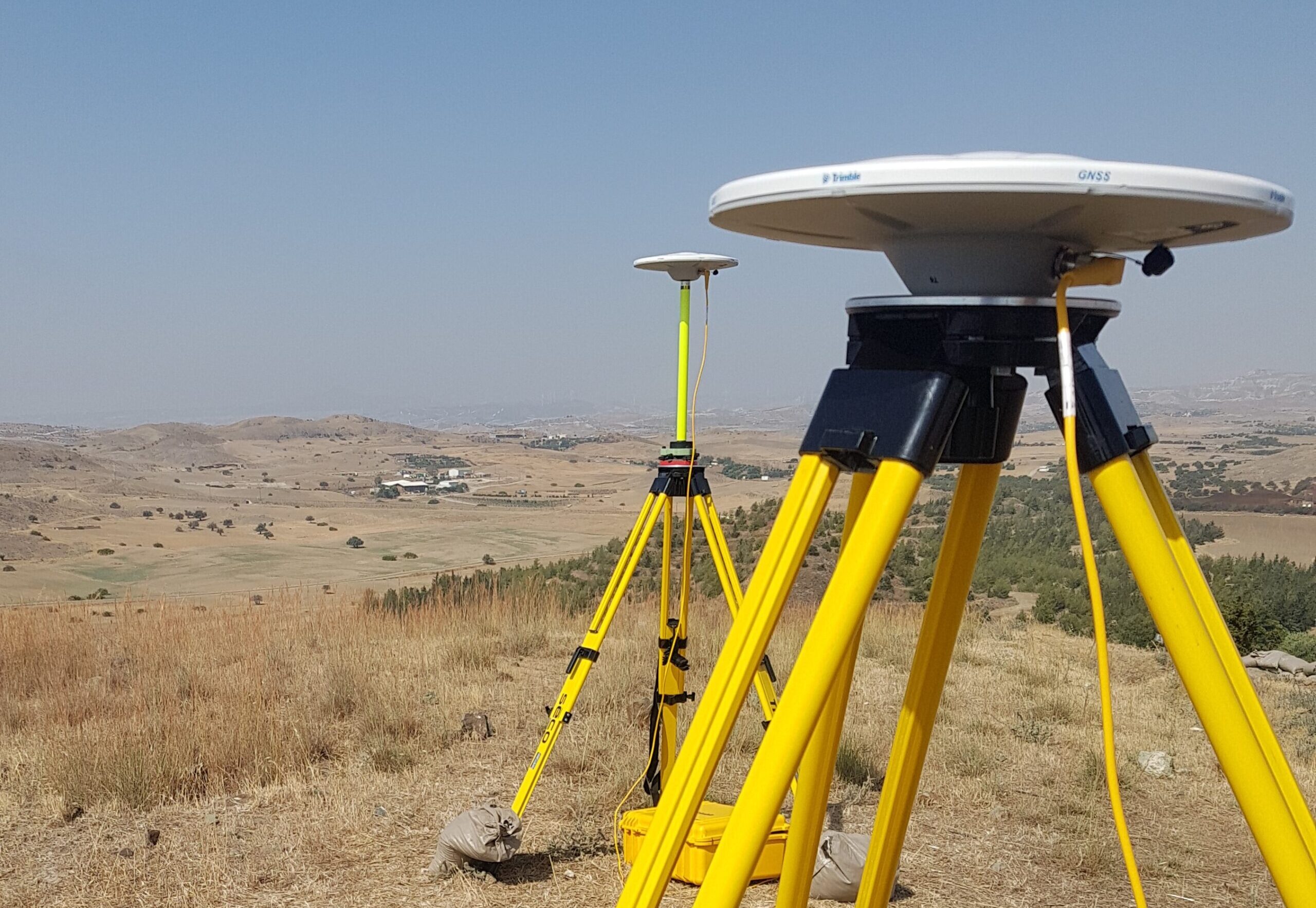
Before undertaking a development, a “proper” owner should demarcate his property through the Land Registry.
At least at this initial stage, they should know before proceeding to the next stages of development.
It is in human nature to make mistakes, but there should also be solutions for the unfortunate citizens who place their trust in government documents.
If not, then before selling/buying an estate, each owner should submit a relevant application to the Land Registry for new survey work (thousands of applications) and after waiting 1-2 years to arrive.
Certainly, this does not help development with all the side effects mentioned.
In another case, on a field of 60,000 sqm and after the project of 50 houses was built, we suddenly learned that the new area is 58,000 sqm and, therefore, a building factor/building amnesty of €70,000 should be purchased.
Who will pay this amount?
In another case, after the stakes were placed and nine houses were developed, the neighbour of the adjacent field and after six years (after the original project was finished), demarcated his plot.
Suddenly the project of 9 houses was located at a distance of 1½ metres instead of 3 meters from the border (I repeat that the Land Registry itself placed the boundary six years ago).
So far, so good, but what happens when the building with the new measurements is found within the neighbouring plot, and the neighbour now demands through the court its demolition (a case in Ayia Napa)?
This serious problem requires immediate solutions with simple procedures that call for the Interior Minister’s attention.
Antonis Loizou FRICS – Antonis Loizou & Associates EPE – Real Estate Appraisers & Development Project Managers